Pages

Total Pageviews

Saturday, 30 April 2016

Mapping Elections - Malaysian Style

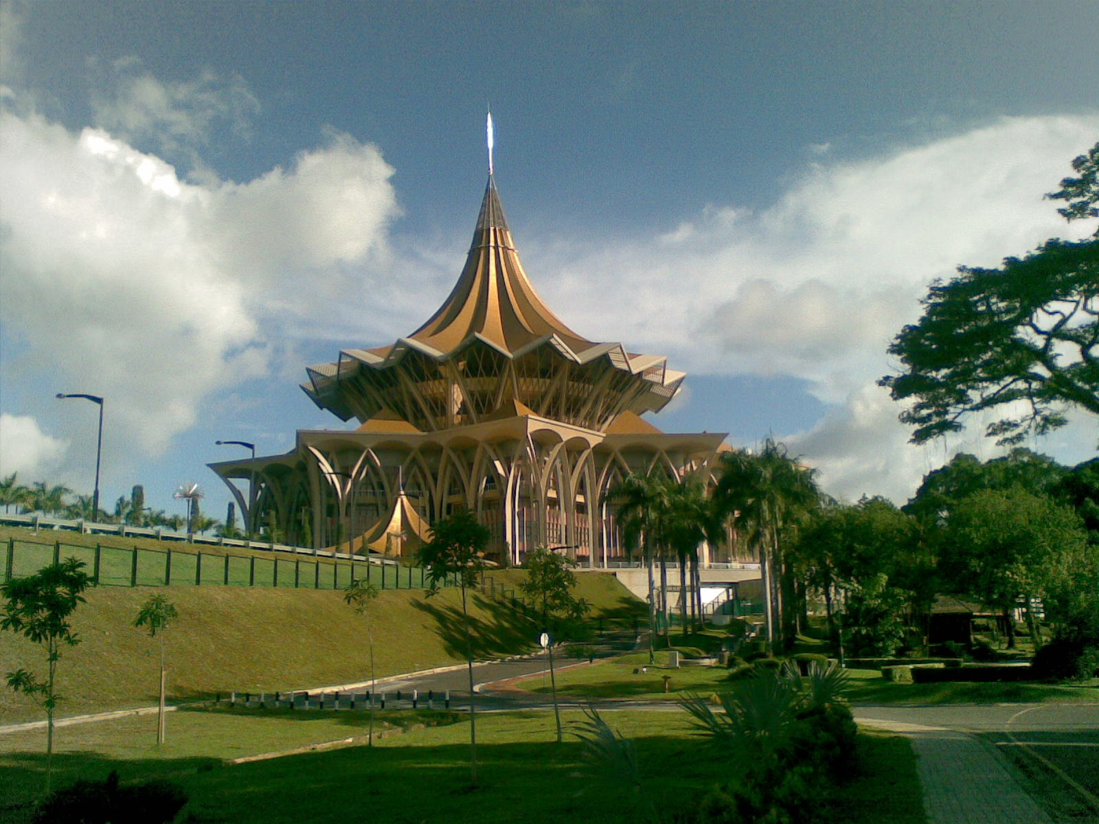
Recently, my map mind was reminded that I need to cover a hot topic coming up in Malaysia. On May 7th, Sarawak (the Land of Hornbills) - the biggest state in Malaysia is holding a state wide elections. Unlike other states, Sarawak does not conduct the state and parliamentary elections on the same time.

Credit : Cerevisae (Wikipedia)

Interestingly, the elections in Sarawak is happening amidst two big issues rocking Malaysia:

  1. 1MDB (State Investment Firm) Scandal - global level scandal - which has destabilized the ruling (BN) federal government (of which Sarawak State government is an appendage to ruling powers in Kuala Lumpur). The leadership of Prime Minister Najib Razak has been severely attacked by within his party and the opposition for the financial mismanagement of 1MDB. A solid victory in Sarawak would bolster his position in the party and the government
  2. New test for the reborn but fractious opposition coalition for a state wide election. While it is inconceivable that opposition (previously PR, now PH) will deny the ruling state government 2/3 majority, they made great headway in 2011 elections. However, with the popularity of current Chief Minister of Sarawak and infighting in the opposition, the image presented by opposition by the voters is dented.
This post is not about political analysis but how we can use map visualizations to gauge where the voters preference lay.  Presenting to you:

  1. Sarawak 2016 Election Analysis - Toggle between three map layers to understand correlation of population density, political tendencies, seat fights and effect of 2015 redelineation on the electoral outcome. Designed by Danesh Prakash Chacko  View the Larger Map
  2. Sarawak 2nd Round of Electoral Redelineation (2015) - Switch between layers to see the correlation of ethnicity, voting preferences and impact of redelineation on the electoral outcome. This map was designed when Election Commission was still proposing the 11 new seats and changes to the borders. Designed by Danesh Prakash Chacko View the Larger Map
  3. Sarawak Electoral Redelineation 2011 and 2015  - Slide and swipe the map to see how the electoral boundaries have changed and whether the jarring gap between voters values have been addressed. Designed by Tindak Malaysia View The Map
Credits for the Information needed to build the Map : Tindak Malaysia, Borneo Post. These maps exception of 3rd map do not reflect the views of the data providers Tindak Malaysia and Borneo Post.

Please let me know what other information should I put for the map - we need to see feasibility of adding new information. Enjoy!


Thursday, 14 April 2016

CEOs, booths... Locate Expo 2016


Locate16 is one of the big conferences of spatial sciences and surveying which draws audience from Australia and New Zealand. Though I did not attend the conference, I manage to convince my supervisors that I should attend the Expo (which is a free event).

My original intention is to attend the continuous lightning talks in the Expo. However, I found that lightning talks in a huge auditorium with many booths are not done in right setting. You, as a listener, get easily distracted by all the booths and connections you want to meet.

I spend most of my time in reconnecting with my old networks and visiting one booth to another. Guess what? I am very across on your business with latest updates. But on the flip side, you don't know much what my company do. However, the highlight of the Expo is to reconnect with CEOs who are keen to do business with my company. All I need is to approach these CEOs (they have done business with my company previously) as friends and next thing, they want talk about collaboration. Just need to mention the name of my company and everything flows - no sales pitch, no product selling...

What did I learn from the Expo:
  1. I think a lot of geospatial conferences is targeted to a walled community. The people who are the industry and converted to think geospatial solutions is everything. Have you seen a medical person coming to an conference or Expo like this? No, despite ESRI may have geofencing solution for ambulance management.
  2. It is difficult for me to be convinced that some associations can help my business to the next level. My company is not in the geospatial world but we do have partners in that realm. Yes these associations can partner my company with other vendors here and beyond. However, I am not convinced about the value addition to my company.                                                       When you join an association, ask yourself on how does it benefit you and your business or what can you contribute?
  3. How do CEOs talk? Most interesting aspect of the Expo wasn't the booths or technology. It was the time I spent with business owners. Why do I say so? Observe how enthusiastic they were about their solutions and trying to pitch to me on integration. To show their business will make our solutions the master and driven on good quality spatial data. They don't even have to say to me the superiority of their solutions but just stressing we can be complementary partners. 
That's my opinion about the Expo. What is your take on the geospatial conferences or Expos you have attended?