 |
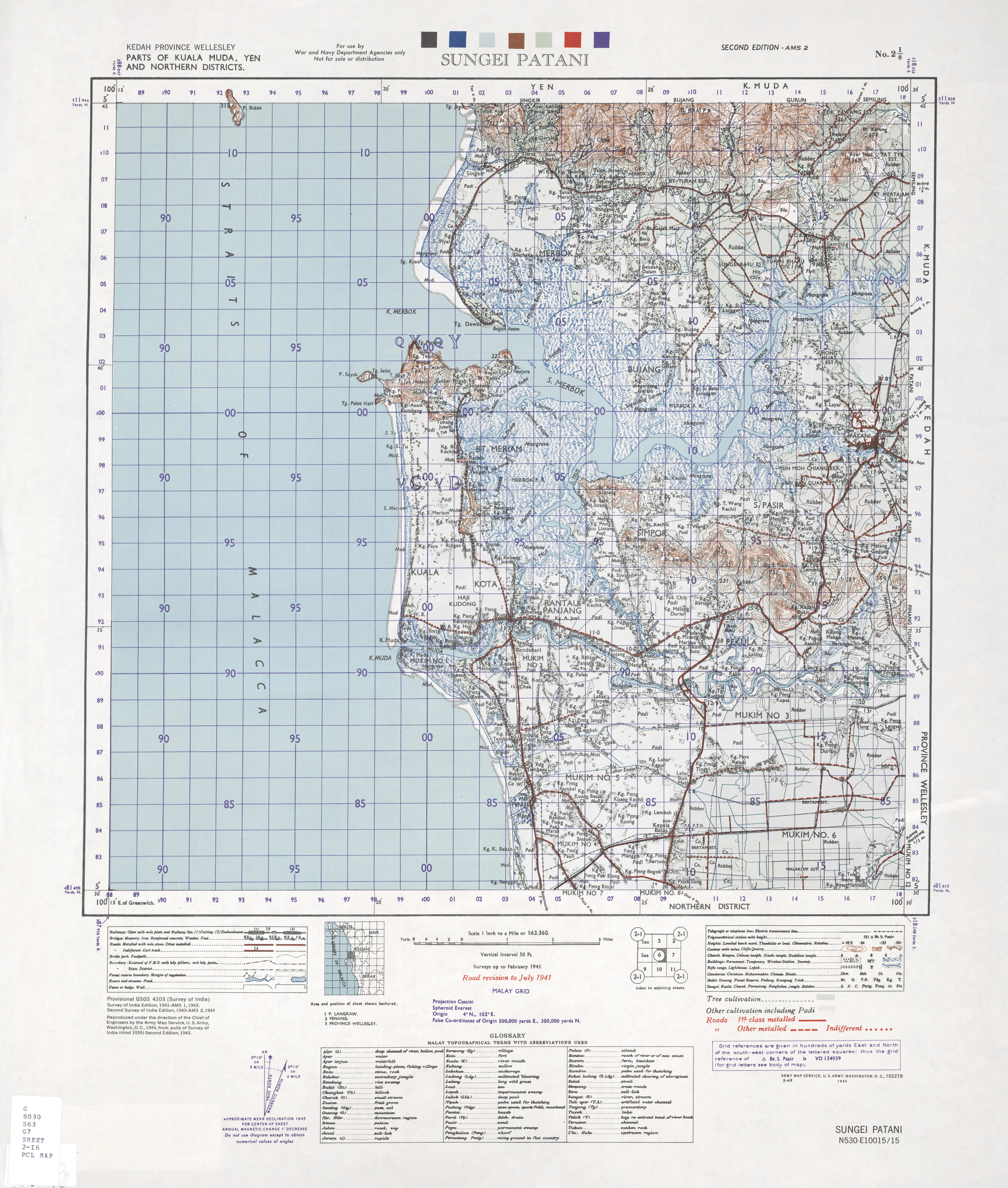
| Sungai Petani (1943) Courtesy of University of Texas libraries |
On 31st August 2017, Malaya (now part of Malaysia) celebrated the 60th Independence Year. One of the best ways to see the changes of Malaya over the years is understanding the changes in town layouts.
Over the past few months, I have sourced multiple out of copyright maps, images and historical descriptions of selected cities across Malaya. I took this opportunity to look at selected towns (some of which are no longer prominent in the Malaysian scene) to relieve pre-Independence days of these settlements.
Unearth lost buildings, former railways and relieve memories of the past.
When time and online storage permits, I will look into adding other cities where I could source maps and relevant histories. I hope this map story application allows you to explore Malayan history through cities and more importantly, maps.
Please drop your comments of this application - both positive and constructive ones. If you want to see your town or settlement to be part of the application, please drop your name, city name and potential source for a historical map/images.
Click on this link for a full view.